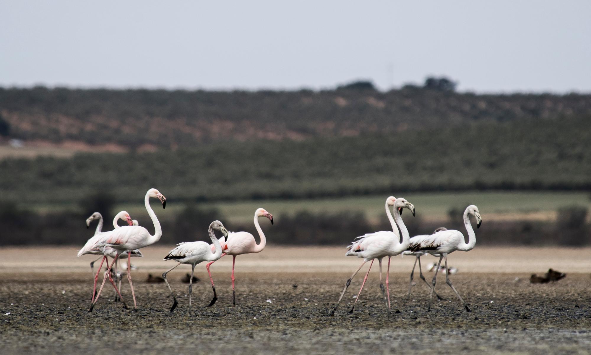
Best-ever measurement of polar ice loss delivered by NASA space lasers
2020-04-30 18:00
NASA satellites bearing advanced laser technology have recorded the most accurate picture of large scale ice sheet melting in Greenland and Antarctica to date, showing they've contributed to 14 millimetres of sea level rise in 16 years.
Related Events
No matched contents
Recommended Articles
April Mediterranean heatwave ‘almost impossible’ without climate crisis
Extreme event would have been expected once in 40,000 years before global ...
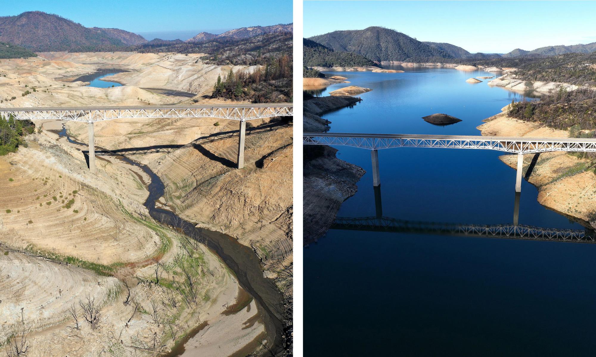
Drought or no drought? California left pondering after record winter deluge
Severe storms may have filled reservoirs but in the Golden State, a dry ...
Labour says it would stop Cumbria coalmine from opening
Ed Miliband vows party will seek to prevent ‘climate-destroying’ plan ...